A Tornado Watch is now active for parts of Louisiana and Mississippi. The National Weather Service issued the alert Sunday morning. It remains in effect until noon for multiple parishes and counties.
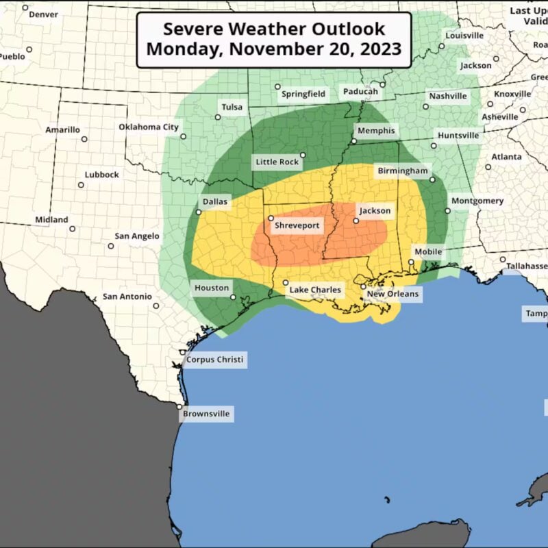
Residents are urged to stay weather-aware. The storm system poses a significant threat of tornadoes and damaging winds. According to the Associated Press, the atmospheric conditions are highly favorable for severe weather development.
List of Counties Under the Tornado Watch
The impacted Louisiana parishes include Jefferson, Washington, St. Bernard, and Orleans. St. Tammany, Plaquemines, and several other southeastern areas are also under the watch.
In Mississippi, the watch covers Hancock, Harrison, and Jackson counties. Pearl River and Walthall counties are included as well. Coastal zones near Lake Pontchartrain and the Mississippi Sound are also at risk.
Local officials advise having a safety plan ready. People should be prepared to seek shelter immediately if a Tornado Warning is issued for their specific location.
Storm Impacts and Safety Precautions
The primary concerns are damaging wind gusts and isolated tornadoes. The National Weather Service office in Jackson confirmed these risks. Hail and intense rainfall are also likely with these storms.
Heavy rain could lead to flash flooding in some areas. Forecasters predict 1 to 2 inches of rain may fall rapidly. Isolated areas could see even higher amounts.
Residents should monitor local news and weather alerts. The safest place during a tornado is an interior room on the lowest floor of a sturdy building. Stay away from windows.
Thought you’d like to know
Which specific areas are under the Tornado Watch?
The watch includes Louisiana parishes like Jefferson, St. Bernard, and Orleans. In Mississippi, it covers Hancock, Harrison, and Jackson counties, among others.
How long will the Tornado Watch remain in effect?
The alert is currently valid until noon on Sunday. This could be extended if the threatening weather conditions persist into the afternoon.
What is the main danger from these storms?
The greatest risk is from damaging wind gusts that could exceed 70 mph. The environment is also highly supportive of tornado formation.
What should I do if a Tornado Warning is issued?
Move immediately to a basement or an interior room on the lowest floor. Avoid windows and protect yourself from flying debris.
Is flooding also a concern with this system?
Yes, heavy rainfall may cause localized flash flooding. Some areas could see 1 to 2 inches of rain in a short period.
জুমবাংলা নিউজ সবার আগে পেতে Follow করুন জুমবাংলা গুগল নিউজ, জুমবাংলা টুইটার , জুমবাংলা ফেসবুক, জুমবাংলা টেলিগ্রাম এবং সাবস্ক্রাইব করুন জুমবাংলা ইউটিউব চ্যানেলে।


