Hurricane Karina strengthened rapidly in the eastern Pacific while remaining far offshore, according to the National Hurricane Center and The Associated Press. AP reported that Karina moved from Category 1 to Category 3 strength within hours on Aug. 30. The center’s advisory described a system well west-southwest of the southern tip of Mexico.
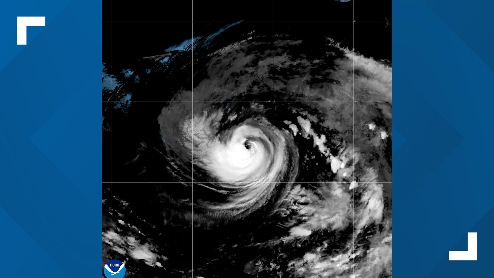
The storm’s distance from land was the central part of the latest update. AP reported Karina about 960 miles west-southwest of Baja California and moving west, on a forecast path expected to carry it farther into the Pacific. The report said there were no coastal watches or warnings in effect at that time.
A major hurricane is classified as Category 3 or higher, based on maximum sustained winds of at least 111 mph. That classification describes wind intensity; it does not automatically mean a storm will strike land. The National Hurricane Center’s forecast track and later advisories remain the proper guide for changing risk.
Even without a landfall threat, the storm can affect coastal conditions. AP reported that swells could create dangerous surf and rip currents along parts of southwest Mexico and the Baja California Peninsula. Beachgoers can face risk from those conditions without experiencing hurricane-force winds at their location.
Forecast confidence can change as a tropical cyclone moves through different waters and atmospheric conditions. The reports said some additional strengthening was possible, but they did not guarantee a particular peak intensity or path. Headlines that present a landfall as certain would therefore be unsupported by the current advisory.
The National Hurricane Center also tracks other systems, including Tropical Storm Lowell, but Karina and Lowell are separate storms. Naming both in one update should not imply that they are merging or posing the same risk. Readers should check the latest official advisory for each system.
The verified position is that Karina became a major hurricane far from land, with no coastal watches or warnings reported in the cited update. Conditions can change quickly, so residents and travellers in the eastern Pacific should rely on the NHC’s newest forecast rather than an old social-media graphic.

Follow iNews Zoombangla On Google
Open the Google follow page and tap the checkmark option to receive more updates from iNews Zoombangla in your Google news feed.