The National Weather Service issued a severe thunderstorm watch for parts of the New York metropolitan region on Aug. 27 as forecasters warned of damaging wind, large hail and the possibility of a tornado. The watch, identified by the agency as Watch 630, was valid until 8 p.m. Eastern time for New York City and surrounding counties listed in the official alert.
The watch included New York, Bronx, Kings, Queens and Richmond counties, along with parts of New Jersey, the lower Hudson Valley, Fairfield County and Nassau County. The National Weather Service’s forecast discussion said storms could develop or move through the area with enough instability and wind shear to create severe conditions. It also noted a risk of heavy rain and flash flooding.
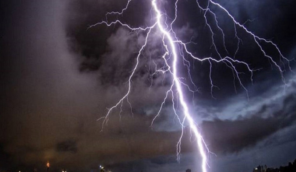
A watch is different from a warning. A watch means conditions are favourable for severe thunderstorms or a tornado to develop; it does not mean every location will experience the worst weather. A warning is issued for a specific threat that is occurring or imminent and requires people in the affected area to take immediate shelter. Residents should rely on the latest local alert, not on a watch that has already expired.
NY1 reported that thunderstorms and rain affected New York during the weather episode and that officials were also monitoring flooding concerns. The combination of wind, hail and intense rainfall can produce hazards even when a storm does not become a tornado. Downed branches, power interruptions, poor visibility and flooded roads can create danger for drivers and pedestrians after the strongest cells pass.
The sharp rise in severe thunderstorm watch searches followed the alert’s broad geographic reach and the speed at which forecasts changed. Weather systems can move across county lines, so residents near the edge of a watch area may receive different instructions from neighbouring jurisdictions. Emergency managers commonly advise people to keep phones charged, avoid flooded roads and move indoors when thunder is heard.
The watch described in the official bulletin was time-limited and should not be presented as an active warning after its expiration. The verified public-safety lesson is to check the National Weather Service, local emergency alerts and official county notices for a current status. Forecast discussions provide valuable context, but the newest warning or cancellation is the controlling information for immediate decisions.

Follow iNews Zoombangla On Google
Open the Google follow page and tap the checkmark option to receive more updates from iNews Zoombangla in your Google news feed.