National Hurricane Center Dolly coverage shifted from a named-storm forecast to a monitoring message after the system weakened into an open tropical wave over the Atlantic. NOAA’s satellite service recorded the final-advisory status and said the remnants remained relevant to interests in the Leeward Islands, but the system was no longer being handled as an active tropical storm by the hurricane center.
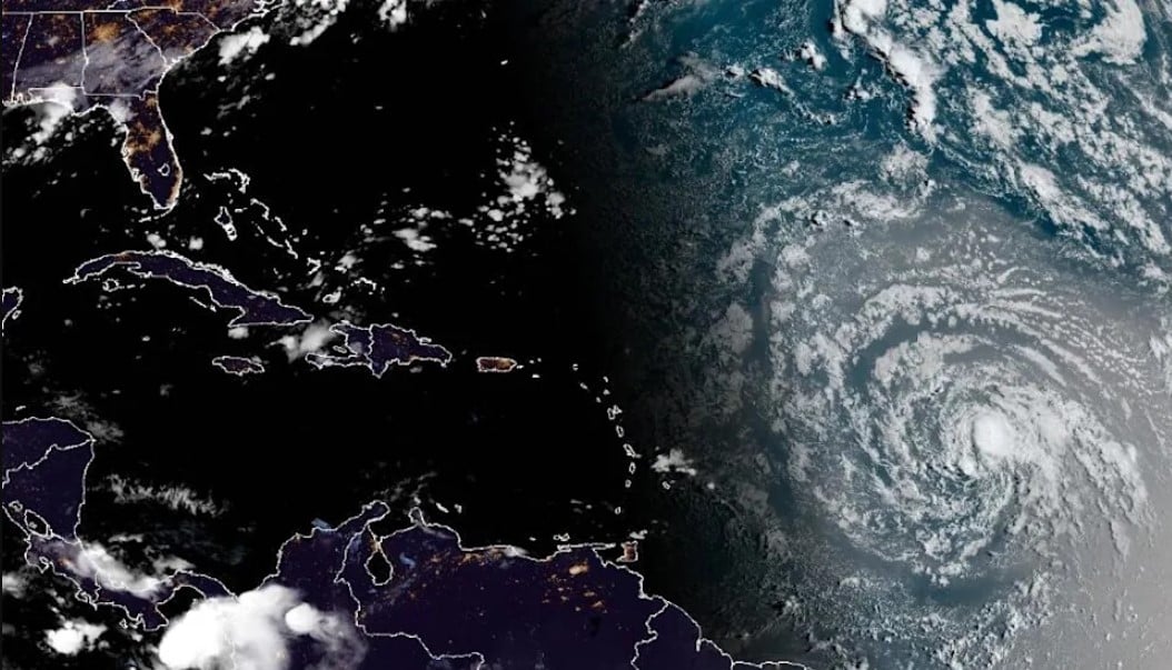
The National Hurricane Center’s fourth advisory, issued on August 28, had placed Dolly east of the Leeward Islands with maximum sustained winds of 40 mph. It was moving rapidly west, and no coastal watches or warnings were in effect at that time. Forecasters expected the circulation to lose organization as it moved through less favorable conditions.
NOAA’s GOES storm page later described the system as an open tropical wave and listed a final advisory. The page recorded a position near 15.0 degrees north and 46.9 degrees west in its latest displayed storm-history entry. It also retained the earlier warning that the remnants could bring moisture and heavy rain to the islands as they moved westward.
Associated Press reported that the Leeward Islands could receive heavy rain during the weekend, with the Virgin Islands, Puerto Rico and Hispaniola also facing possible rainfall later in the forecast period. CBS News, citing the hurricane center, reported that flash flooding could be possible in higher terrain. Those rainfall risks were tied to the remnants and should not be confused with a continuing tropical-storm warning.
Dolly was the fourth named storm of the 2026 Atlantic hurricane season. The ending of the NHC advisory cycle means that travelers, residents and local authorities should use their own meteorological services for subsequent rainfall or flood information. The verified update is therefore a change in classification and monitoring status, not a declaration that every location along the system’s path faces the same level of danger.

Follow iNews Zoombangla On Google
Open the Google follow page and tap the checkmark option to receive more updates from iNews Zoombangla in your Google news feed.