Sunseeker is using IFA 2026 to show its next generation of robotic lawn mowers, with LiDAR mapping and connected garden software at the center of the display. Geeky Gadgets identified the S7 and S5 as the key models in the company’s presentation, while Sunseeker and TechTimes describe a wider 2027 lineup.
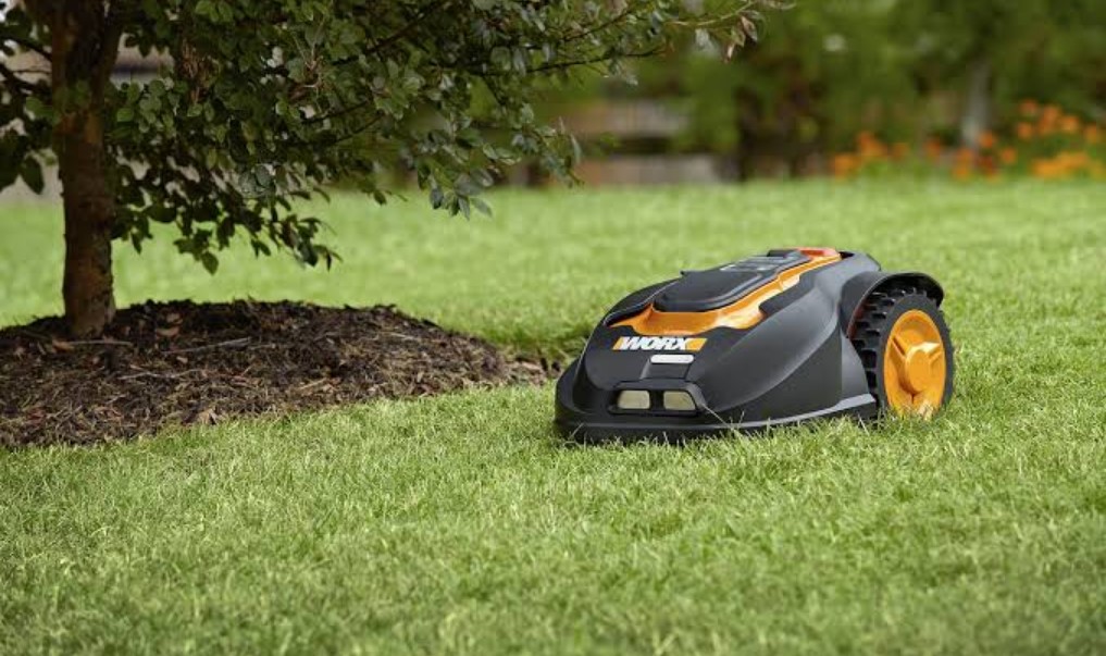
The S7 LiDAR Ultra AWD 3000 is aimed at larger gardens. Sunseeker says its AllSense 2.0 system combines 360-degree LiDAR with AI vision to create a spatial view of the lawn. The company says the mower can recognize more than 360 types of obstacles, although that figure remains a manufacturer claim rather than an independently measured result.
Sunseeker lists a coverage class of up to 3,000 square meters for the S7. Its all-wheel-drive system is designed for slopes of up to 80 percent, and the mower uses a 35-centimeter dual-disc cutting system. The company also describes wire-free setup, multiple map support and digital no-go areas, which could reduce the manual work required when a garden has separate sections.
The S5 LiDAR Ultra AWD 1800 follows the same basic idea for smaller family gardens. Sunseeker puts it in the 1,800-square-meter class and gives it LiDAR mapping, AI-assisted perception and all-wheel drive. A cut-to-edge disc is included for boundary work, while the S7 can add an EdgeZero trimmer through an Extension Hub.
The broader Smart Garden plan connects mower data with weather, rainfall, soil conditions and lawn-health monitoring. Sunseeker says its MapOS software will offer 2D and 3D views, including a 3D semantic map that represents lawn features in a more understandable way. The company has not published final prices for the S7 or S5 in the sources reviewed.
Availability is also a future item. Sunseeker’s IFA material describes the products as 2027 models, and the company has pointed to February 2027 availability for the new lineup. That leaves regional pricing, retail channels and the final software feature list for later announcements. For now, the event shows how robot mower makers are treating mapping and outdoor data as part of the product rather than as optional extras.

Follow iNews Zoombangla On Google
Open the Google follow page and tap the checkmark option to receive more updates from iNews Zoombangla in your Google news feed.